Tsunamis are among the most destructive natural disasters, capable of carrying massive volumes of water and debris far inland. The exact distance a tsunami can travel inland-the
inundation distance
-depends on multiple factors including the tsunami’s size, energy, local geography, and coastal elevation. Typically, tsunami flooding can reach
over 300 meters (about 1000 feet)
inland from the coast. However, extreme events and unique circumstances may result in even greater penetration, with rare cases known to reach several miles inland
[1]
.
What Determines How Far a Tsunami Travels Inland?
The distance a tsunami can travel inland relies on several key variables:
Wave Energy and Height:
Larger, more powerful tsunamis generated by strong earthquakes or landslides produce higher waves that carry more energy, allowing them to push water farther inland. In extreme cases, water levels have risen over
15 meters (50 feet)
for distant tsunamis and over
30 meters (100 feet)
for local events
[3]
.
Coastal Topography:
Flat, low-lying coastal areas are more vulnerable than steep or elevated shores. Water can spread rapidly and deeply across plains, while natural rises such as dunes and cliffs can limit penetration.
Local Obstacles and Infrastructure:
Urban development, forests, and barriers may slow down or redirect tsunami waves, but in many cases, water surges around and through obstacles, carrying debris with destructive force.
Wave Shoaling and Run-up:
As tsunami waves approach shore, they slow and grow taller due to the shoaling effect, increasing their destructive potential and inland reach.
Run-up
refers to the maximum vertical height above sea level that the water achieves once on land
[3]
.
Historical Examples and Extreme Cases
Most tsunamis result in inundation distances under a mile, but extreme cases have demonstrated far greater reach:
2011 Japan Tsunami:
The Great East Japan Earthquake triggered waves that penetrated inland for several kilometers in places, overwhelming sea walls and infrastructure.
2004 Indian Ocean Tsunami:
In some regions, flooding extended over 2 kilometers inland, devastating coastal communities and infrastructure.
Lituya Bay, Alaska (1958):
A mega-tsunami, triggered by a landslide, produced a wave over 500 meters high and traveled up to
12 miles (20 kilometers)
inland-a rare and extreme event
[4]
.
While mega-tsunamis are exceptionally rare, they highlight the potential for extraordinary inland travel under unique circumstances.
How Can You Assess Tsunami Risk for Your Location?
Assessing your tsunami risk requires understanding local geography, historical records, and available warning systems. Here’s how you can evaluate and prepare:
Check Topographic and Flood Maps:
Many coastal communities provide tsunami hazard maps indicating evacuation zones and possible inundation distances. These are based on historical data and computer modeling. You can search for “tsunami hazard map” along with your city or state for official resources.
Consult Local Emergency Management Agencies:
Contact your local emergency management office or state geological survey to request information about tsunami preparedness and evacuation plans.
Review National and International Guidance:
The
International Tsunami Information Center
and national agencies such as NOAA offer detailed resources on tsunami risks. For official U.S. guidance, visit the
NOAA Tsunami Program
website, which provides current alerts and educational materials.
Know the Warning Signs:
Learn the natural signs of an impending tsunami, such as rapid sea recession or unusual ground shaking. These precede the arrival of waves and can give precious minutes to evacuate.
Step-by-Step Guidance for Tsunami Preparedness
Effective preparation can save lives and minimize property loss. Follow these actionable steps to ensure your safety:
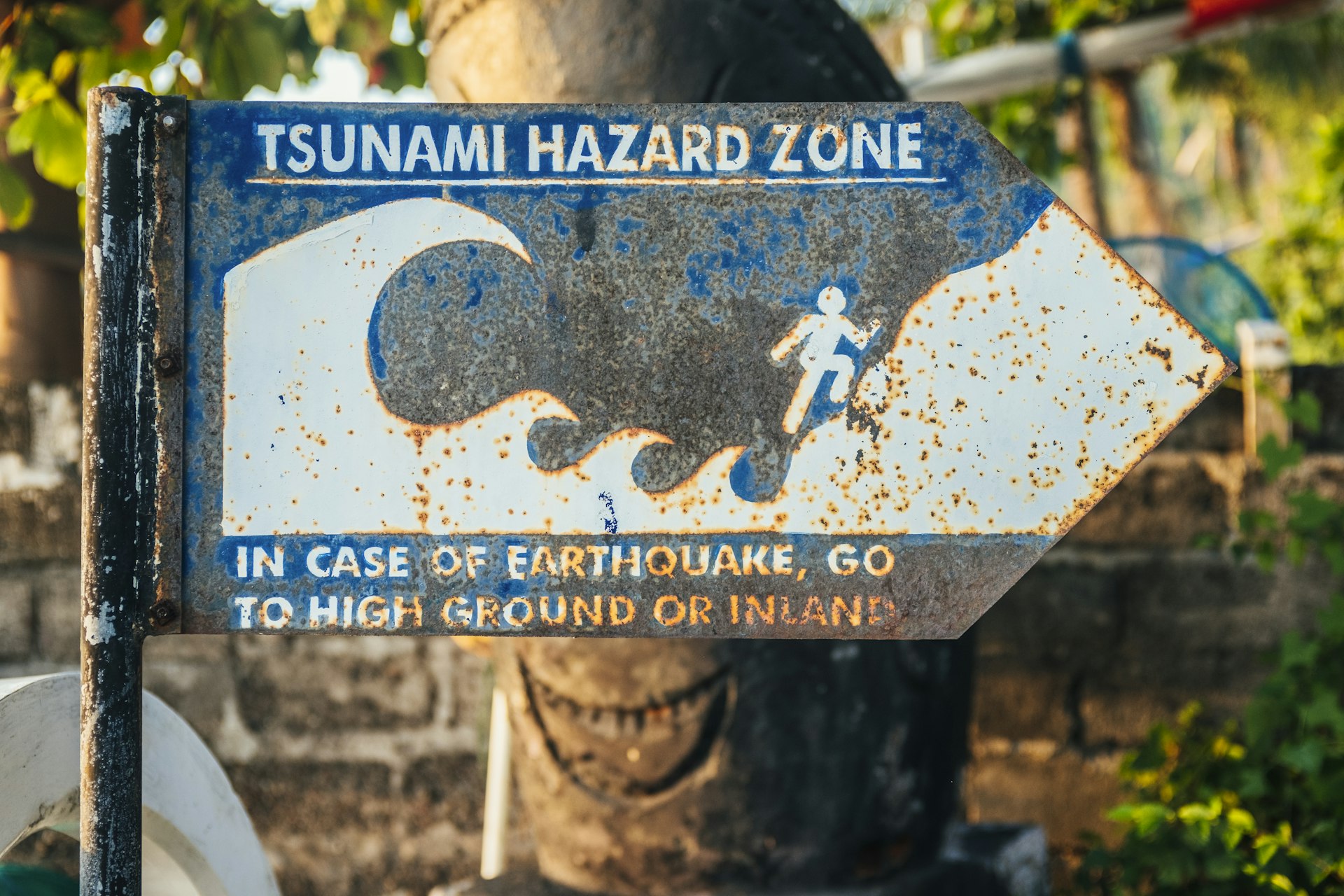
Identify High Ground and Evacuation Routes:
Know the nearest elevated areas and safe zones above potential run-up heights. Practice evacuation drills and familiarize yourself with community routes.
Sign Up for Warning Alerts:
Register for local emergency alerts, such as NOAA Weather Radio and SMS tsunami warning services. These systems provide real-time warnings and instructions.
Develop a Family Emergency Plan:
Outline where to meet, how to communicate, and what supplies to bring. Include water, food, first aid, and important documents in your emergency kit.
Participate in Community Preparedness Programs:
Many regions offer tsunami awareness workshops and evacuation simulations. Engage with neighbors and local organizations for coordinated response.
Stay Informed:
Regularly check updates from official agencies and review any changes to evacuation zones or warning protocols.
Challenges and Solutions in Tsunami Risk Management
Managing tsunami risk presents unique challenges:
Predictability:
Tsunami events are rare and often unpredictable, requiring continuous readiness.
Infrastructure Limitations:
Not all communities have robust seawalls or warning systems. Consider advocating for improved infrastructure and community risk assessments.
Communication Barriers:
Multilingual and accessible warning systems are essential. Ensure that family members and neighbors understand evacuation instructions.
Alternative Approaches:
In addition to physical barriers, natural solutions such as planting mangroves and restoring wetlands can help dissipate wave energy and reduce inland flooding.
Solutions involve a combination of individual preparedness, community planning, and government investment in early warning systems and resilient infrastructure.
Summary and Key Takeaways
Tsunamis
can travel hundreds of meters-and, in rare cases, several miles-inland, with their reach determined by wave energy, geography, and local conditions. While most events inundate under a mile, knowing your local risk, preparing evacuation plans, and leveraging official resources will maximize safety. For authoritative information, consult NOAA’s official tsunami program and your local emergency management agency. Engage with community preparedness initiatives and stay informed for the best possible outcomes.